
Doña Ana County Neighbors: Block Sources
Public block research is strongest when it stays tied to parcels and custodians. The County GIS map can show the property polygons next to an address and the assessment fields attached to them. The Clerk's instruments can support an ownership succession question. Historic maps can place an older block in time. Community groups may publish contact or meeting information, but no public source reviewed here supports treating an association roster as a list of every household.
| Source | What It Shows About a Block | Access |
|---|---|---|
| County GIS parcel polygons | Adjacent boundaries, parcel/account, owner or deed-holder, situs, mailing distinction, and legal context | Public viewer and REST service; assessment snapshot caveat applies |
| Clerk recorded instruments | Ownership succession and legal-description continuity | Clerk search or counter; confirm current image and copy access |
| Treasurer receipts | Tax-account and legal-description context | Public service; not proof of residence |
| Voter data | Only the data allowed through the official state process | Self-check or authorized SERVIS route, never street browsing |
| Historic maps and directories | Older block form and dated published address associations when a source exists | Library, Library of Congress, or local-history inquiry |
| Neighborhood or civic groups | Public contacts or events that a group elects to publish | Do not assume a private roster is public |
For Doña Ana County neighbors, an owner name is a property-record clue. It does not prove a person occupies the parcel, receives mail there, or shares a household with anyone else. The map includes no household member, utility, delivery, or unrecorded-occupant field.
Read Doña Ana County Neighbor Parcel Fields
The County parcel service distinguishes the situs from the mailing address. SITUSADDRS identifies the physical assessed location. MAILADDR1, MAILADDR2, city, state, and ZIP identify tax correspondence. A post office box, trustee, manager, or different property can appear in a mailing field. OWNERNAME and DEEDHOLDER are record clues, not a household directory.
Other useful fields include account number, parcel number, lot, block, subdivision, township, range, section, and TRS. Preserve those identifiers before opening the Clerk index. They keep the research tied to a specific parcel when names repeat or street wording changes. The public service supports map and spatial query functions, pagination, and ordering, but limits a response to 2,000 records. That technical capacity should not be used to turn a map into a resident roster.
The County Assessor e-forms page reflects the account-number approach used for official Assessor requests.
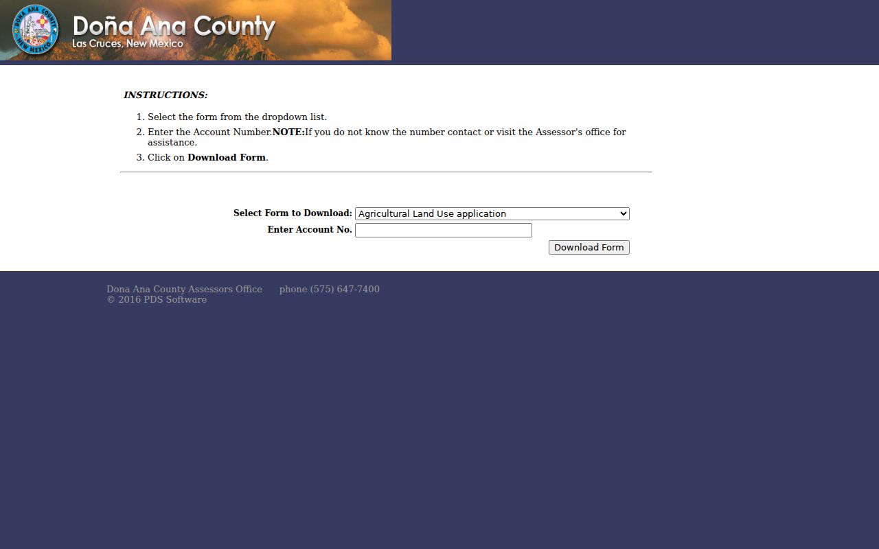
An account number helps identify a property record, but it does not authorize disclosure of information the public layer does not provide.
Map Doña Ana County Neighbors by Parcel
Use the Doña Ana County GIS Web App Viewer to explore the immediate block. Locate the target property, select its polygon, and write down the account, parcel, situs, and legal-description fields. Then click the surrounding polygons one at a time. The service includes neighborhood, school-district, and tax-area attributes that can provide local map context, but it does not publish a household-member field.
- Find the physical address and select the target parcel on the official map.
- Capture the target parcel number, account number, situs, and legal description.
- Click each adjoining parcel and keep each record separate. Note the owner or deed-holder as an assessment clue and preserve the situs versus mailing distinction.
- For a property-history question, search the Clerk index with the owner and legal description, then compare instruments. For the whole named street, use the dedicated street workflow.
The Doña Ana County street directory is the better route for a full street-by-street record chain. This method remains focused on the few parcels around one address.
Trace Doña Ana County Neighbor Parcels by Deed
A street address is not the durable primary key for a property. From the GIS popup, carry the parcel, account, lot-block-subdivision, or township-range-section information to the County Clerk's Advanced Public Search. Find the current grantee-side instrument for the owner or deed holder, then compare the document number or book-page, recording date, grantor, grantee, and legal description. A plat can connect a lot and block to a recorded plan.
Next, look for the seller as an earlier grantee and compare the descriptions for continuity. If the online system does not expose the needed material or requires access, take the identifiers to the Clerk's counter. The Clerk's public search is a finding aid, not a title guarantee. A later instrument may be a lead, but it does not identify someone's current location.
The County's elected-officials page identifies the Clerk as a local records custodian.
Use the Clerk for the actual instrument, copy procedure, and any older-book or counter-access question.
Find Doña Ana County Neighborhood Contacts
Las Cruces accepts neighborhood-association and watch registration. The City says its Clerk maintains a centralized association database accessible to all, while registration materials include officer contact details, bylaws, and geographic boundaries. The public inspection did not expose a live roster. For a particular development, use the association's official contact route, recorded covenants or plats, and municipal planning staff rather than assuming a GIS neighborhood label is an organized association.
Las Cruces Community Engagement
Association registration and database access route.
Contact: 575-541-2000
Office: 700 N. Main St., Las Cruces
City Clerk Database
Ask for the centralized association database or the current public-access method. Do not request or republish a private member roster.
The City neighborhood-association registration page identifies the registration and contact process.
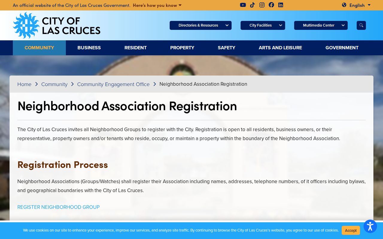
Public contact or meeting details can help a person connect with a community group without turning membership information into a block list.
Respect Doña Ana County Neighbor Voter Rules
New Mexico's My Registration Information screen is for a voter to retrieve personal registration information. It requires first name, last name, date of birth, and county. It provides the requester's registration, voting locations, sample ballot, absentee status, and county-clerk contact. It does not offer a public search by street, block, or nearby household.
The separate SERVIS voter-data program requires authorization and has defined fields, fees, and disclosure rules. Protected addresses are a further limit. Safe at Home participants use a substitute address and their confidential address does not appear on voter lists made available to the public.
Note: Voter participation history reports participation, not a person's ballot choices or candidate selections.
Compare Doña Ana County Neighbor Sources
Official records disclose a limited, dated purpose-specific fact. Commercial neighbor tools may combine public and commercial data, but they can be stale, merged, incomplete, or wrong. Neither category turns an owner field into proof of household membership. When a reliable answer matters, return to the custodian and record the source date, identifier, and access limit.
| Official record route | Commercial neighbor category |
|---|---|
| Shows the field an agency lawfully maintains, such as parcel, instrument, or map data | May aggregate material from many sources with different dates and correction paths |
| Can be checked with the responsible office and a record identifier | Should be treated as an unverified lead, not a source of fact |
| Retains statutory confidentiality and redaction limits | May provide an opt-out process, which does not change an underlying government record |
Place Historic Doña Ana County Neighbors on a Block
For an older block question, begin with the built and legal setting rather than a current owner field. The Library of Congress provides a digitized July 1921 Las Cruces Sanborn edition with 12 sheets. It can show building footprints, streets, and block context for the period. The local record sequence also identifies Las Cruces Sanborn editions from 1893, 1902, 1908, 1913, 1921, and 1927, but each sheet and edition must be checked in the holding collection. Maps do not name residents.
After locating a building or lot, carry the historic street and block context to the Clerk deed chain, then ask Thomas Branigan Memorial Library or NMSU about a dated telephone, city, or reverse directory. The source sweep found a 1940 Las Cruces City Directory citation in an NPS bibliography, but did not find an authoritative public catalog with a complete local directory run or a digitized entry. That gap matters: a directory can only be quoted after the actual volume, year, publisher, and entry structure are inspected.
Federal census schedules become public after 72 years, with 1950 the latest fully released census at the research date. Pair a directory year with the closest released census only after keeping the dates distinct. A directory associates a publisher's entry with an address at a point in time. A census can show a household on its census date. Neither makes a present-day assertion about Doña Ana County neighbors.
Protect Privacy in a Neighbor Lookup
A neighbor lookup cannot support a claim about all people at an address. The parcel layer has no non-owner occupant, household-member, utility, or delivery-recipient information. Tax mailing lines can differ from a physical situs. Court Case Lookup suppresses addresses and other personal information. Protected voter, vital, court, driver, and Safe at Home information must remain protected.
Absence from a public layer is not an error to solve. It may reflect confidentiality, the record's actual scope, a change in ownership, or a different custodian. If a published field appears wrong, contact the agency that controls the underlying record with the parcel, account, case, or instrument identifier. Do not use records to infer a person's daily whereabouts.
Lawful use. Use Doña Ana County neighbor records for personal, lawful research and community contact. Do not watch, stalk, harass, intimidate, disclose protected addresses, or harm anyone.