
Doña Ana County ZIP Code Directory Coverage
Postal geography in Doña Ana County is broad and layered. Census ZCTAs with county land identify a useful starting list, while the Postal Service decides whether a particular physical address receives a ZIP or ZIP+4. The County has delivery areas associated with Las Cruces, northern valley communities, Anthony, Santa Teresa, Mesilla, Organ, Sunland Park, Chaparral, and smaller localities. It also has postal or post-office-style exceptions. The table groups verified labels so a researcher can start in the right area, then confirm the actual address.
| ZIP Code | Areas Covered | Post Office | Notes |
|---|---|---|---|
| 87936, 87937, 87940, 87941 | Garfield, Hatch, Rincon, and Salem postal areas | Northern county labels | Rural delivery geography is not a municipal boundary |
| 88001, 88002, 88003, 88004 | Las Cruces, White Sands Missile Range area, University Park, and Las Cruces box mail | Las Cruces area | 88004 is PO Box geography; 88002 does not establish city jurisdiction |
| 88005, 88007, 88011, 88012 | Las Cruces-area delivery | Las Cruces area | County offices use 88007; addresses moved from 88005 to 88007 in 2002 |
| 88006, 88013 | Las Cruces non-ZCTA or PO-style mailing exceptions | Las Cruces area | 88013 was established for Commerce Station PO Boxes in 2006 |
| 88008, 88021, 88024, 88027 | Santa Teresa, Anthony, Berino/Anthony area, and Chamberino | Southern county labels | Aliases and street delivery require address-level USPS verification |
| 88032, 88033, 88044, 88048, 88072 | Doña Ana, Fairacres, La Mesa, Mesquite, and Vado areas | Local postal labels | Several are non-ZCTA or rural/local exceptions |
| 88046, 88047, 88052, 88058, 88063, 88081 | Mesilla, Mesilla Park, Organ, San Miguel, Sunland Park, and Chaparral | Local postal labels | 88081 moved former Anthony delivery addresses in 2002 |
Do not market the ZCTA list as an exact delivery map or a resident list. The Census relationship file is valuable for identifying ZIP areas that touch the County, but a ZCTA is only an approximation of postal geography. The exact address controls.
Verify a Doña Ana County ZIP Code First
The operational order is simple: enter the physical address in the official USPS lookup, then use the parcel map to determine the property and its municipality or unincorporated setting. The USPS ZIP Code Lookup is the final source for address-to-ZIP+4 verification. An old label, map, or family record can be a useful lead, but it cannot replace a current postal check.
The research documented three useful historic cautions. On July 1, 2002, 6,322 addresses moved from 88005 to the newly established 88007. On that same date, 2,963 addresses formerly using Anthony 88021 moved to 88081. A 2006 Postal Bulletin established 88013 for Commerce Station PO Boxes. Those changes show why the ZIP code directory should be used with a date and an exact address.
The USPS Postal Bulletin notice for 88013 provides an official example of a postal-only exception.
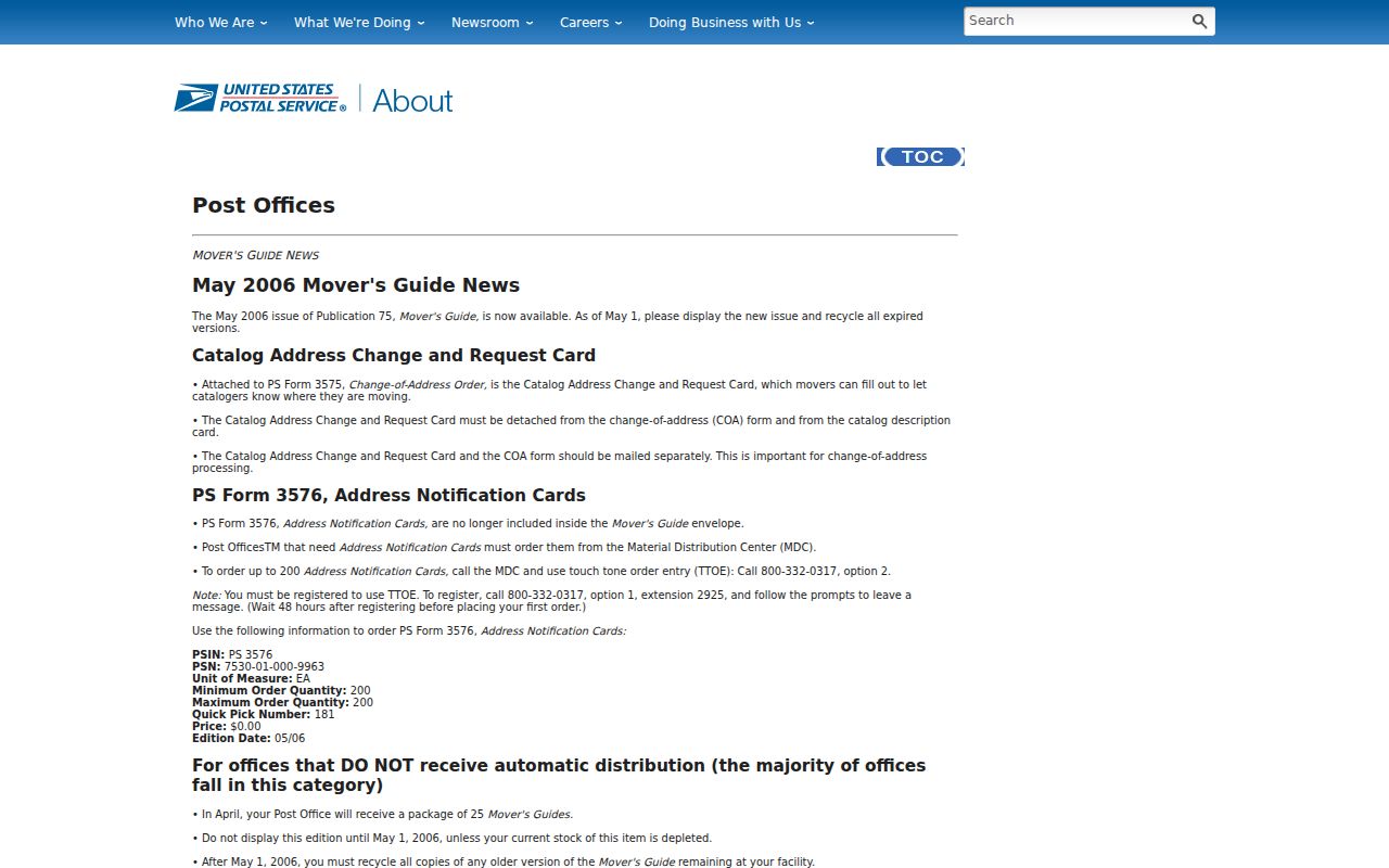
It supports a narrow postal history point, not a conclusion about present municipal boundaries or the people at an address.
Search Doña Ana County ZIP Code Fields
A ZIP can narrow parcel research, but the County GIS parcel service labels its ZIP attribute as part of the tax mailing-address set. It is not an official occupancy field or a land boundary. Once a ZIP filter returns a parcel, inspect SITUSADDRS, MAILADDR1, owner/deed-holder fields, parcel number, and legal description before connecting it to a record request.
| Search field | How it should be read |
|---|---|
| ZIP | Optional mailing-address filter, not a parcel-boundary or residence field |
| Situs address | The physical assessed location of the parcel |
| Mailing address | Tax correspondence destination, which can differ from the situs |
| Account and parcel numbers | Stable identifiers to retain for the Clerk or Treasurer |
| Lot, block, subdivision, or TRS | Legal-description bridge for a deed, plat, or rural parcel |
The Census ZCTA-to-county relationship file is a useful research filter, while USPS still decides individual address delivery.
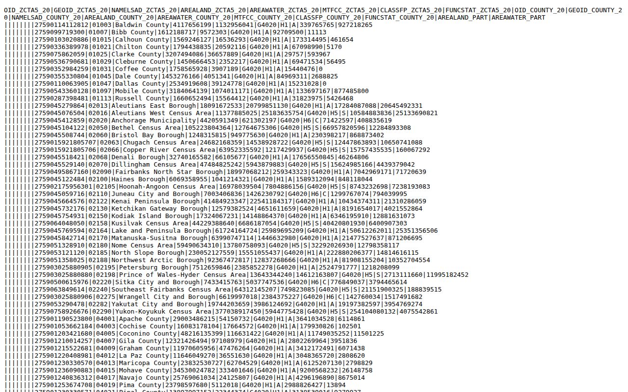
The file confirms county-land relationships, not a current ZIP boundary, city limit, or household list.
Find Records by Doña Ana County ZIP Code
Use a ZIP code to reduce the area, then switch to the record type that can answer the question. The parcel service has query and map functions, but a result describes a parcel assessment record. The Secretary of State voter self-lookup is for the voter to check personal registration with a name, birth date, and county. It is not a browse-by-ZIP roster. Authorized SERVIS data has its own request, fee, and disclosure rules.
- Verify the complete physical address with USPS and retain the returned ZIP or ZIP+4.
- Open the County GIS viewer or parcel service and confirm the situs, parcel, account, and legal-description context.
- Use the County Clerk index for a deed or plat only after the parcel identifiers point to a particular property record.
- For a permitted voter-data request, follow the Secretary of State's authorization process. Do not substitute the self-check for a ZIP search.
Once the postal area is narrowed to a street, the Doña Ana County street directory provides the separate address and parcel workflow.
Note: Postal labels work best as a filter before checking the property record's own situs and legal description.
Read Doña Ana County Postal Places Locally
A Las Cruces mailing line can serve an unincorporated area and does not decide which government office has the record. County planning materials describe five incorporated municipalities, Anthony, Hatch, Las Cruces, Mesilla, and Sunland Park, alongside roughly sixty unincorporated communities. Postal, assessor, election, and municipal boundaries are separate systems. Confirm the parcel's setting before directing a records request to a city office or the County.
Northern Valley labels such as Hatch, Garfield, Rincon, and Salem likewise describe postal geography rather than a single jurisdiction. The same care applies around Santa Teresa, Anthony, Berino, Chamberino, Vado, Mesilla Park, Organ, and Chaparral. A valid ZIP result is a useful address clue; it is not proof of legal jurisdiction, ownership, or current residence.
Use More Than a Doña Ana County ZIP Code
Historic property research needs a legal description as well as a ZIP. The National Park Service describes the historic Doña Ana village as a 35-foot grid of 137-square-foot lots that were later subdivided along an older linear settlement. A modern street string or postal label can miss that earlier geometry. Lot, block, subdivision, land-grant, township-range-section, and recorded plat references are often the better bridge.
The National Park Service history of Doña Ana village explains the early record geography behind that distinction.
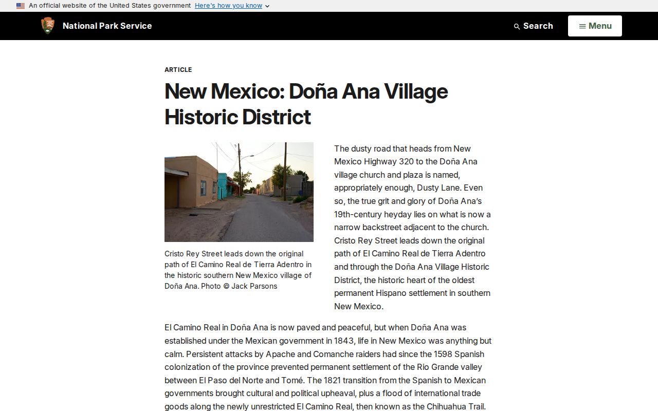
For an old lot, use the parcel and Clerk records to connect historic geography to an actual instrument rather than guessing from a current ZIP code.
Check Doña Ana County ZIP Code Gaps
The ZIP code directory deliberately separates what was verified from what was not. The Census 2020 ZCTA-to-county file identifies the ZCTAs that contain Doña Ana County land, and federal or USPS sources identify several non-ZCTA or post-office-style exceptions. That is enough to organize a careful address search. It is not enough to claim an exhaustive street-delivery list, a current route map, or a history for every postal realignment.
No authoritative countywide ZIP split or general realignment chronology was located beyond the documented 2002 changes for 88007 and 88081 and the 2006 88013 Commerce Station notice. A property may also have a mailing ZIP that differs from the postal service's current delivery result. When a result matters for a Clerk request, a tax record, or an address-history project, preserve the date of the source and repeat the USPS check against the complete physical address.
The County parcel map is the next check after USPS because it reveals the situs and legal-description context. It cannot convert a postal label into municipal jurisdiction. In the same way, a municipal address request should go to the municipality that controls the address record, not simply the city named on an envelope. This distinction is particularly important for the County's unincorporated communities and rural delivery areas.
The parcel REST service can accept a ZIP as an optional attribute filter, along with address, owner, deed-holder, account, parcel, mailing, and legal-description fields. It also supports paging and map-style spatial queries, with a maximum of 2,000 records in one response. Those settings are useful for examining a defined property question, but the County describes the layer as assessment and valuation information. It is not an official postal map, a title guarantee, or a list of residents in a ZIP area.
Separate ZIP Codes From Doña Ana County Limits
A ZIP code is a Postal Service routing construct. It is not a county line, city limit, voting precinct, neighborhood, or assessor map code. The mismatch is visible in Las Cruces-area labels, the White Sands Missile Range area, box mail, and rural localities. For record research, confirm the physical situs in the parcel service and then use the agency that controls the needed document.
- ZIP and ZIP+4
- A five-digit ZIP sorts mail to an area. ZIP+4 adds a smaller delivery segment for a specific address or mailbox range.
- PO Box ZIP
- A postal code used for box-mail routing. It may not describe a geographic neighborhood or physical situs.
- Unique ZIP
- A code associated with a particular organization or specialized postal operation. It still does not decide civil jurisdiction.
- Carrier route
- A Postal Service delivery sequence within an area. It is not a public record of who lives along that route.
Note: An exact USPS result can change with postal operations, so confirm it again before sending mail or relying on an older document.